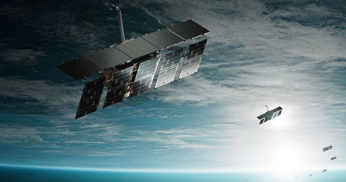
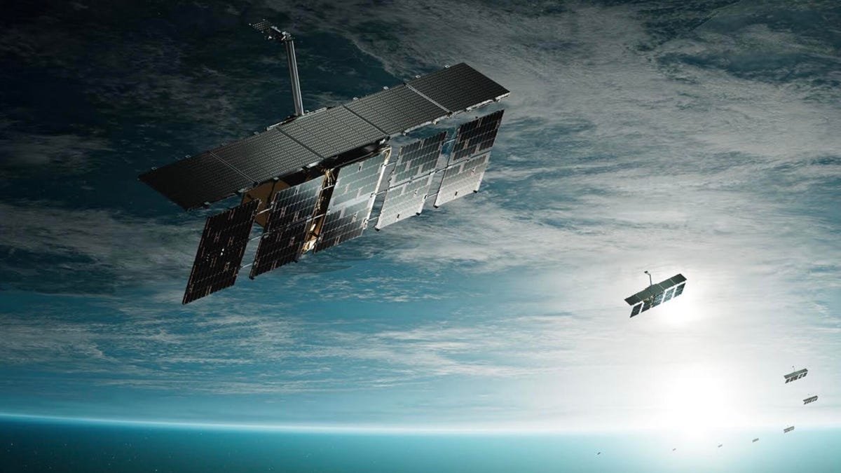
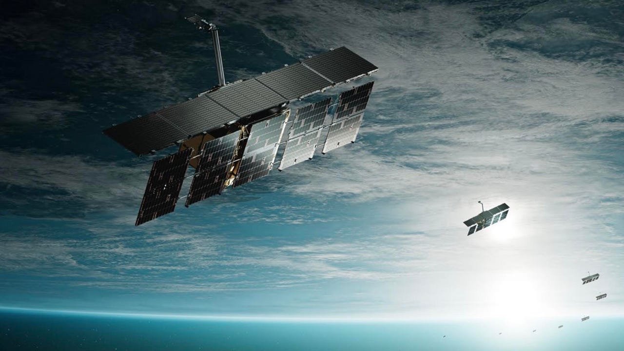
Project Orbion unites five cutting-edge tech firms to create a dynamic digital twin of Earth, fusing radar, AI, and spatial analytics for real-time 3D mapping that renders GPS obsolete. This initiative promises revolutionary applications in disaster response, agriculture, and urban planning by overcoming GPS's static data limitations with centimeter-level accuracy and instant insights.
For decades, GPS has been the backbone of global navigation—guiding everything from smartphones to emergency services. Yet its fatal flaw lies in its static nature: once captured, data decays rapidly, leaving critical decisions based on outdated snapshots. Enter Project Orbion, a bold collaboration unveiled this week by five defense-tech innovators aiming to replace passive maps with a living, breathing digital twin of our planet. By integrating synthetic reality, high-resolution radar, and AI-driven analytics, this initiative doesn't just chart the Earth; it lets us see it in motion, anticipating changes in real-time for unprecedented situational awareness.
Why GPS Falls Short—and How Orbion Fills the Void As Michael Wollersheim, Director of Analytics at project partner ICEYE, starkly puts it: "With GPS, once you've got a slice of data, it immediately starts going stale. It's out of date the moment you capture it." Project Orbion tackles this by pooling technologies that refresh geospatial intelligence continuously. Unlike GPS's satellite-dependent signals, which falter in urban canyons or dense forests, Orbion's multi-sensor approach ensures resilience. For instance, during disasters like floods or wildfires, first responders could access real-time 3D visualizations of shifting terrain, while farmers might monitor crop health down to individual plants—applications impossible with today's fragmented systems.
The Consortium: Five Pillars of a Geospatial Revolution Each Orbion partner brings a unique capability, creating a symbiotic tech ecosystem:
- ICEYE: Uses space-based radar to detect millimeter-scale ground movements (e.g., infrastructure shifts) with all-weather reliability.
- Niantic Spatial: Leverages smartphone and drone scans for hyperlocal, instant environment modeling—crucial for emergency preparedness.
- Aechelon: Generates photorealistic "synthetic reality" to fill data gaps, like simulating obscured areas in conflict zones.
- Distance Technologies: Develops heads-up displays for 3D navigation without headsets, enhancing safety in low-visibility conditions.
- BlackSky: Applies AI to sift petabytes of imagery, turning raw data into actionable alerts (e.g., detecting illegal logging from satellite feeds).
From Battlefield to Main Street: The Ripple Effects Initially targeting enterprise and government use—such as optimizing city traffic flows or coordinating disaster recoveries—Orbion's tech could soon redefine daily life. Imagine autonomous vehicles navigating blinding sandstorms via real-time 3D road models, or logistics firms predicting supply chain disruptions by monitoring global port activity. The project also signals a broader shift: like GPS before it, military-born innovations are accelerating civilian breakthroughs. Yet challenges loom, from data privacy in always-watched environments to standardizing interoperability across this mosaic of technologies.
As these pioneers forge ahead, one truth emerges: our world is no longer a static map but a dynamic, interconnected system. Project Orbion doesn't just offer a better way to navigate—it redefines how humanity interacts with the very fabric of the planet, turning passive observation into proactive guardianship.
Source: ZDNet
Comments
Please log in or register to join the discussion