Four Russian spacecraft have expended significant propellant to match the orbital plane of the commercial radar satellite ICEYE‑36, a key source of reconnaissance for Ukraine. The maneuver suggests the first stage of rendezvous proximity operations, prompting U.S. Space Force monitoring and renewed debate over the militarisation of commercial space assets.
Announcement
Open‑source orbital‑tracking data released by the community shows four Russian satellites executing a coordinated plane‑change to align with ICEYE‑36, a Finnish‑U.S. radar imaging satellite that supplies high‑resolution synthetic‑aperture radar (SAR) data to NATO members and Ukraine. The move, confirmed by defense‑intelligence firm Integrity ISR (see their LinkedIn post here), required each Russian spacecraft to burn a sizable amount of fuel—an atypical expense for routine earth‑observation or communications missions.
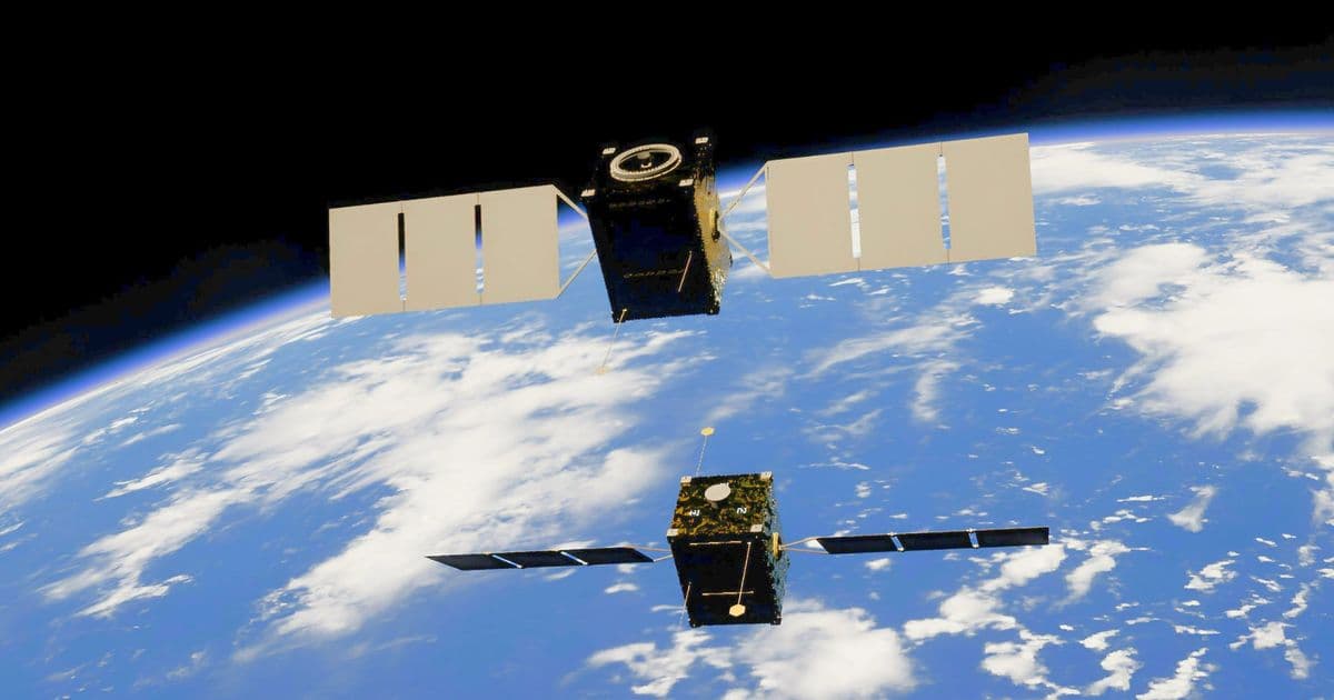
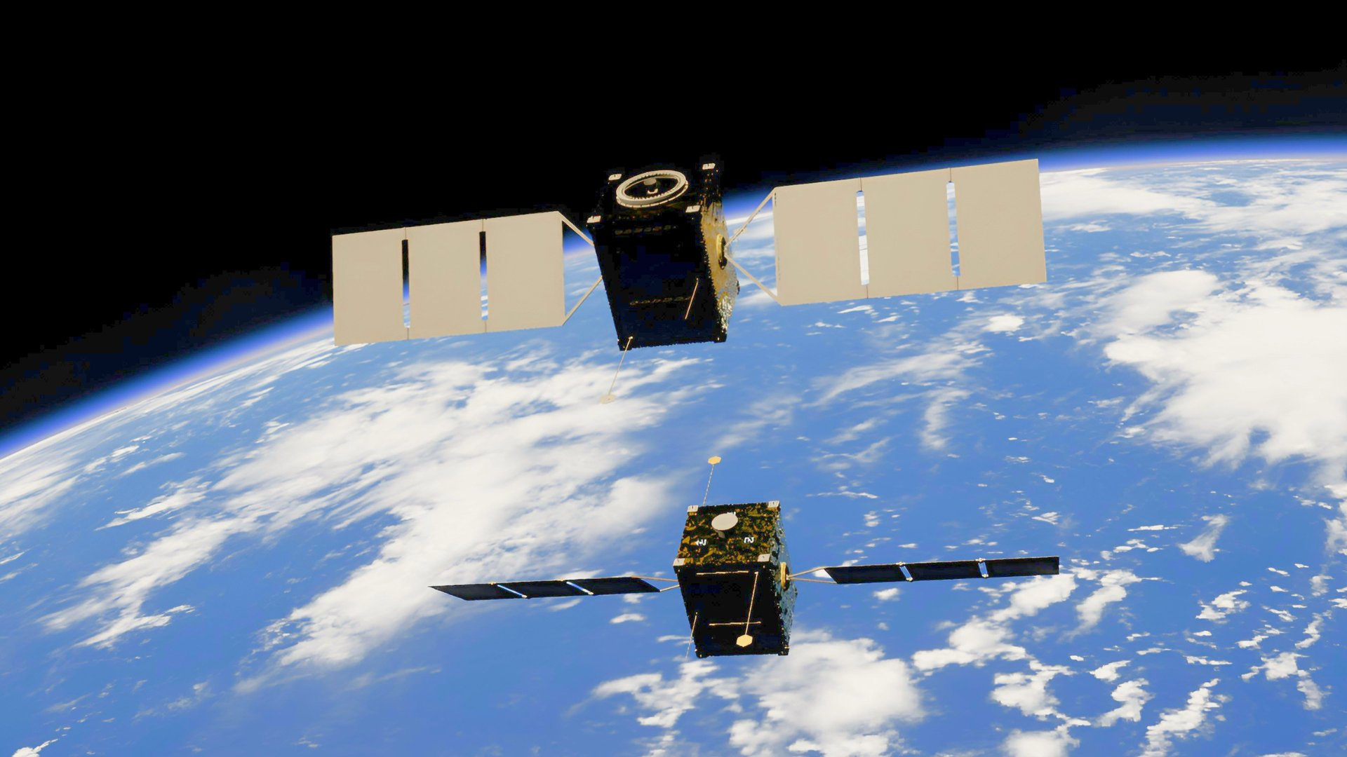 Image credit: Kevin Stadnyk/Unsplash
Technical specs and maneuver analysis
| Parameter | ICEYE‑36 | Russian spacecraft (typical) |
|---|---|---|
| Orbit altitude | ~500 km (sun‑synchronous) | 500–600 km (varies) |
| Inclination | 97.5° | Adjusted to 97.5° after maneuver |
| Propellant used for plane‑change* | – | ~150–200 m/s Δv per vehicle |
| Mission type | Commercial SAR imaging (C‑band) | Likely ISR / anti‑satellite test |
*Exact Δv values are inferred from publicly available Two‑Line Element (TLE) updates and standard orbital mechanics equations (Δv ≈ 2·v·sin(Δi/2)).
The satellites performed co‑planar maneuvers, meaning they altered their orbital inclination to share the same orbital plane as ICEYE‑36. Changing inclination at 500 km altitude typically costs around 150 m/s of Δv per 1° of inclination change. Given the reported fuel consumption, the Russian assets likely shifted by 0.8–1.0°, enough to bring them within a few hundred meters of the target’s trajectory.
Such a maneuver is the first step in Rendezvous Proximity Operations (RPO), a set of techniques used to approach, inspect, or interfere with another spacecraft. RPO can serve benign purposes—such as on‑orbit servicing—but in a military context it precedes non‑cooperative actions like jamming, optical blinding, or kinetic interception.
A fifth Russian satellite is reportedly executing a similar plane‑change, suggesting a coordinated formation that could enable multi‑angle observation or a “pincer” approach to the target. No public telemetry indicates active thruster firings aimed at collision, but the fuel burn alone signals intent beyond routine station‑keeping.
Market and geopolitical implications
Commercial satellite risk premium – ICEYE’s SAR data is a critical input for Ukraine’s artillery targeting and damage assessment. The proximity of potential anti‑satellite assets raises the perceived risk of service disruption, which could translate into higher insurance premiums for operators of similar constellations. Insurers have already flagged “space‑based kinetic threat” as a new underwriting category.
Supply‑chain pressure on launch providers – If Russian RPO capabilities mature, Western customers may demand launch contracts that include on‑orbit defensive measures (e.g., maneuverable platforms, hardening against laser illumination). This could shift demand toward providers offering higher Δv budgets, such as SpaceX’s Starlink‑V2 or Arianespace’s Vega‑C with upgraded propulsion stages.
Regulatory scrutiny – The 1967 Outer Space Treaty permits close approaches provided there is no “harmful interference.” However, the treaty does not address fuel‑intensive proximity maneuvers that could be interpreted as hostile posturing. The U.S. Space Force’s response—inspecting the Russian spacecraft via remote sensing—highlights the limited enforcement tools available, potentially prompting calls for new norms or a Space Safety Agreement under the United Nations.
Impact on Ukrainian defense – ICEYE‑36’s SAR imagery, with a ground resolution of 1 m and revisit times under 30 minutes, is a cornerstone of Ukraine’s real‑time battlefield intelligence. Any degradation—whether through signal jamming, optical blinding, or kinetic attack—could force Kyiv to rely on less frequent, lower‑resolution sources, affecting artillery accuracy and situational awareness.
Industry reaction – Satellite manufacturers such as Maxar and Planet have begun to publicize collision‑avoidance software that can autonomously execute evasive burns. The current Russian activity may accelerate the adoption of AI‑driven conjunction analysis and push vendors to integrate propulsion redundancy into future bus designs.
Outlook
While the United States and its allies can monitor the Russian spacecraft, the absence of a direct counter‑measure underscores a strategic gap: the ability to protect commercial assets that are effectively part of a nation’s defense infrastructure. The next observable step—whether a close‑approach pass, a laser‑based illumination attempt, or a kinetic intercept—will likely dictate how quickly the space community moves to formalise rules of engagement for non‑cooperative satellites.
In the short term, operators of high‑value Earth‑observation constellations should:
- Review fuel margins to ensure sufficient Δv for rapid avoidance maneuvers.
- Coordinate with national space agencies for shared situational awareness feeds.
- Consider hardened payloads (e.g., radiation‑tolerant detectors) to mitigate potential laser‑induced damage.
The episode serves as a reminder that the line between civilian and military space assets is increasingly blurred, and that commercial satellite operators now sit at the front line of a geopolitical contest that extends well beyond the atmosphere.
Comments
Please log in or register to join the discussion