Google DeepMind's AlphaEarth Foundations leverages advanced AI to transform satellite data into a 'virtual satellite' that tracks environmental changes down to 10-meter accuracy. This breakthrough aims to guide sustainable decisions, from optimizing crop yields to identifying resilient locations for infrastructure, by analyzing air quality, groundwater, and human impact globally.
For decades, humanity has grappled with an ironic challenge: as satellite technology floods us with terabytes of Earth observation data daily, synthesizing this information into actionable insights has remained dauntingly complex. Enter Google’s AlphaEarth Foundations—a new AI model from its DeepMind division that compresses this deluge into intelligible, real-time maps of our planet’s health. By acting as a dynamic 'virtual satellite,' it promises not just to diagnose environmental degradation but to prescribe solutions, marking a seismic shift in how we combat climate change.

The Science of Seeing Earth Anew
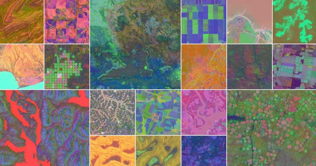
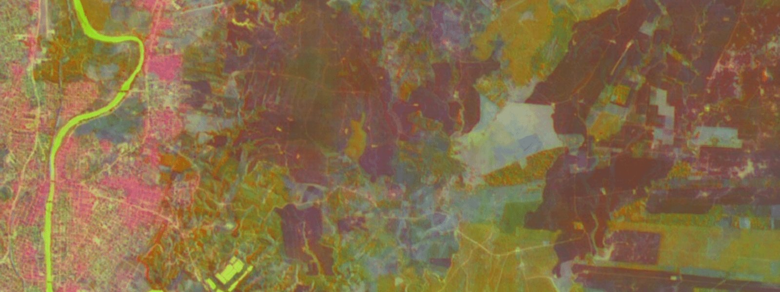
At its core, AlphaEarth Foundations uses machine learning embeddings—a technique that processes vast, non-uniform satellite data into condensed, multi-layered representations. Imagine ingesting petabytes of raw imagery from orbit, then distilling it into color-coded filters that reveal material properties, vegetation density, groundwater reserves, and human infrastructure. Chris Brown, a research engineer at Google DeepMind, frames the evolution succinctly: "Before, the challenge was getting a look at it all. Now, the challenge is to unify all the ways we observe and model our planet."
The model achieves this by analyzing video-like sequences of satellite feeds, creating continuous views that overcome historical gaps—like mapping Antarctica’s elusive terrain or exposing subtle agricultural variations in Canada invisible to humans. Early tests in Ecuador cut through persistent cloud cover to detail crop development stages, showcasing its potential for precision.
From Data to Decisions: Real-World Impact
AlphaEarth isn’t just a technical marvel; it’s engineered for practicality. Governments and corporations can query it to pinpoint optimal locations for solar farms based on sunlight exposure, identify groundwater-rich zones for drought-resistant agriculture, or select construction sites resilient to climate extremes. In Brazil, partners like MayBiomas have used it to analyze rainforests without drowning in data. "We were not even scratching everything that would be possible," admits founder Tasso Azeved, highlighting how the AI slashes analysis time from "hours and hours" to near-instant insights.
Crucially, Google claims a 23.9% accuracy boost over competing models—though it avoids naming rivals like Privateer—with resolutions down to 10 meters. This edge stems from Google’s vast historical satellite archives and its work on foundational AI, even as the company acknowledges past stumbles with generative AI hallucinations in products like Search.
Integration and Ethical Guardrails
The model integrates with Google Earth Engine, the cloud-based platform used by NASA, Unilever, and others since 2010. Annual AlphaEarth datasets will now enable long-term trend tracking, accessible to users with a "light coding background" for custom projects. Yet, amid rising surveillance concerns, Google emphasizes privacy: the system cannot identify individuals, objects, or faces, focusing solely on macro-environmental patterns.
As climate urgency intensifies, AlphaEarth symbolizes a broader pivot—where AI transcends chatbots and becomes a planetary steward. By rendering Earth’s complexities into a navigable interface, it offers a blueprint for sustainable action. The question now isn’t whether we can see the changes, but whether we’ll use this clarity to forge a resilient future.
Source: Adapted from original reporting by Wired
Comments
Please log in or register to join the discussion