
The OpenStreetMap Foundation has officially deployed vector tiles across its infrastructure, fundamentally upgrading the visual experience on osm.org. This technological leap promises sharper maps, faster rendering, and unprecedented flexibility for developers to create custom styles using OSMF-hosted data, marking a significant evolution for the collaborative mapping platform.
The digital cartography landscape just got a major upgrade. The OpenStreetMap Foundation (OSMF) has announced the full production deployment of vector tiles on its core servers and their integration as the primary visual layer on the official OpenStreetMap (OSM) website. This move replaces the traditional raster tile system with a modern vector-based approach, representing a significant technological advancement for the world's largest collaborative map.
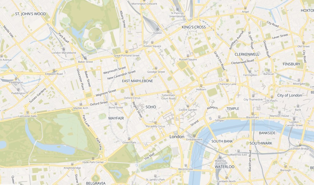 Caption: The new vector tile-based map layer on OpenStreetMap.org, showcasing sharper visuals and faster rendering.
Work on this transition has been intensive. Following a progress update and demo site launch in June 2024, the OSMF team subjected the tile generation pipeline – built around the tilekiln tool – to months of rigorous testing. The focus was squarely on achieving robust reliability and significant speed improvements essential for handling the global scale of OSM data in a production environment.
The benefits are immediate for users:
- Sharper Visuals: Vector tiles render crisply at any zoom level, eliminating the pixelation common with raster tiles.
- Faster Performance: Smaller data payloads and client-side rendering lead to quicker map loads and smoother interactions.
- Developer Flexibility: This is the game-changer. Vector tiles are inherently adaptable. Developers can now leverage the OSMF-hosted vector tile source to create entirely custom map styles, moving far beyond the pre-rendered options of the past. The foundation provides the Shortbread style specification as a starting point.
"A major benefit of vector tiles is adaptability," states the OSMF announcement, "so developers can leverage this vector source to develop their own styles based on the existing Shortbread styles or write a new one."
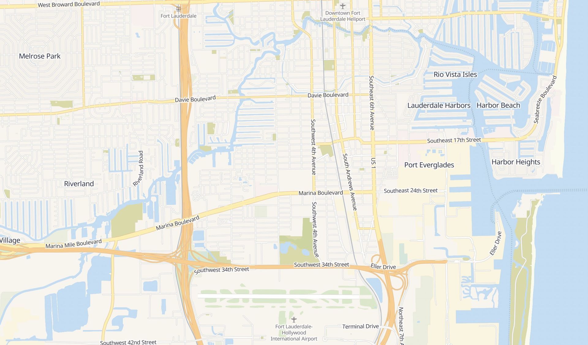 Caption: Example demonstrating the style flexibility achievable with vector tiles compared to static raster images.
Developers eager to integrate these new vector tiles into their applications, whether in development or production, must consult the newly published Vector Tile Usage Policy. The OSMF notes this policy may evolve post-launch to address operational realities.
This deployment isn't the finish line; it's a powerful new foundation. The OSMF explicitly invites community collaboration for the ongoing evolution of the Shortbread specification, styles, and the underlying tilekiln tile generation system. Feedback and contributions are directed to specific repositories: spirit for styles, tilekiln for generation, and shortbread-tiles for the content specification.
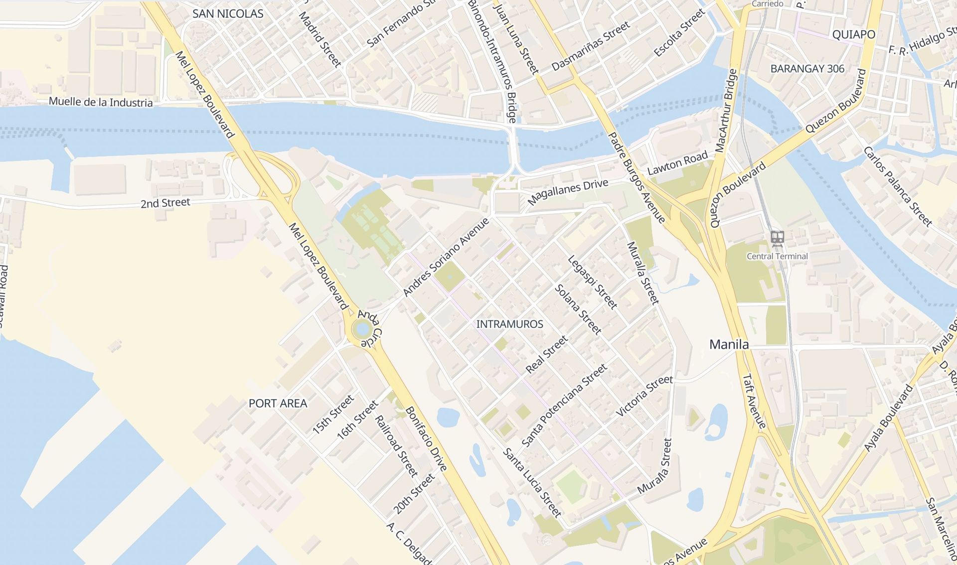 Caption: Technical details of the tile generation and styling pipeline, highlighting the open-source tools involved.
The shift to vector tiles signifies more than just a visual refresh for OpenStreetMap.org. It fundamentally modernizes the platform's technical backbone, unlocking new potential for innovation both within the core project and across the vast ecosystem of applications and services that rely on OSM data. For developers and cartographers, it provides the tools to reimagine how open map data can be presented and utilized, reinforcing OpenStreetMap's position at the forefront of collaborative geospatial technology. The map, quite literally, just got a whole lot more dynamic.
Comments
Please log in or register to join the discussion