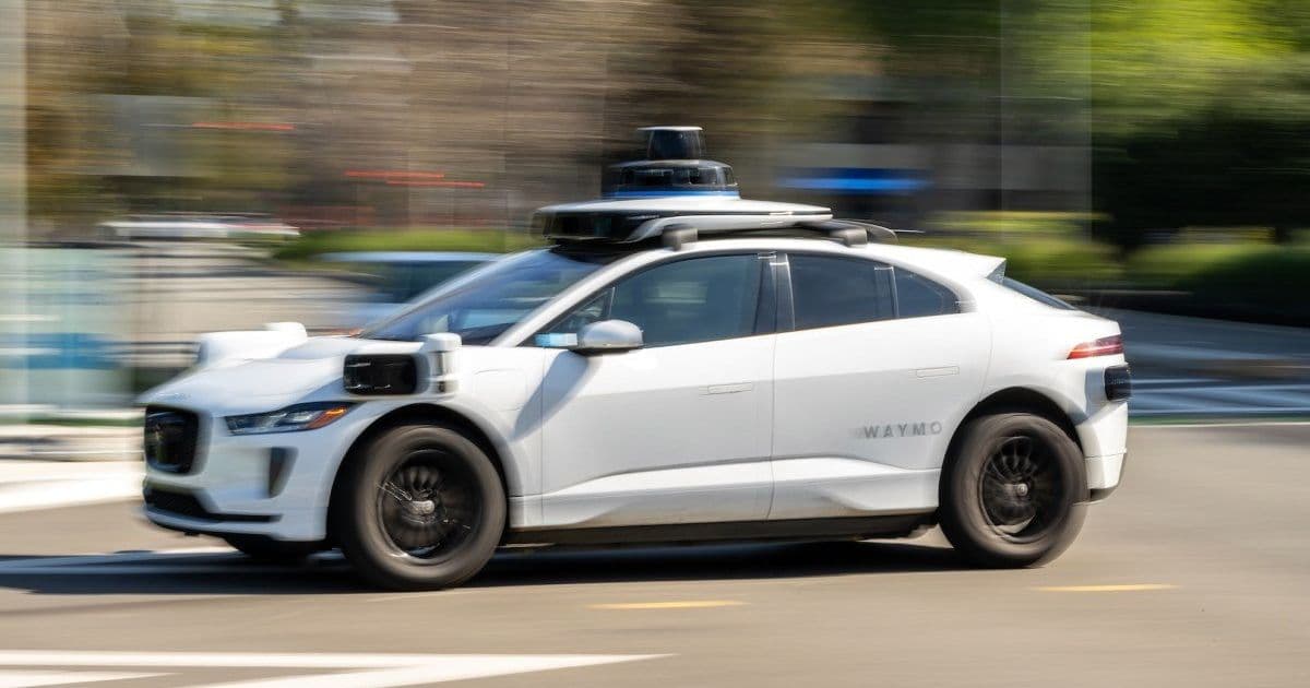
Alphabet-owned companies Waymo and Waze are launching a pilot program to collect pothole data from robotaxi sensors and share it with cities through the Waze for Cities platform.
Alphabet is leveraging its dual ownership of Waymo and Waze to tackle a universal urban problem: potholes. The two companies announced Thursday they're launching a pilot program that will use data collected by Waymo's autonomous vehicles to identify road damage and share it with city officials through Waze's municipal platform.
Starting in five markets this spring, Waymo's robotaxis will automatically detect potholes, cracks, and other road hazards using their onboard sensors and cameras. This data will flow into the Waze for Cities platform, which already helps municipalities manage traffic patterns and road closures. The information will also be available to individual Waze app users, creating a crowdsourced view of road conditions.
The pilot program represents an innovative use of autonomous vehicle technology beyond passenger transport. Waymo's fleet of robotaxis constantly scans roads with high-precision sensors as they navigate city streets, generating detailed maps of road conditions that could be valuable for urban maintenance.
Cities participating in the pilot will receive real-time data about road damage, potentially allowing them to prioritize repairs more efficiently. The partnership could help municipalities stretch limited infrastructure budgets by identifying problem areas before they worsen.
This collaboration between Waymo and Waze showcases how Alphabet companies can create synergies across their portfolio. While Waymo focuses on autonomous driving technology and Waze on crowdsourced navigation, their combined data capabilities offer new solutions for urban infrastructure management.
The five markets selected for the initial rollout haven't been disclosed, but the program's success could lead to broader implementation in cities where Waymo operates its robotaxi service. The initiative also highlights how autonomous vehicle fleets might provide secondary benefits to communities beyond transportation services.
As cities worldwide grapple with aging infrastructure and limited maintenance budgets, data-driven approaches to road repair are becoming increasingly attractive. Waymo and Waze's partnership could serve as a model for how technology companies can contribute to public works through innovative data sharing arrangements.
The program launches amid growing competition in the autonomous vehicle space, with Waymo facing rivals like Cruise and Tesla. By demonstrating practical civic applications for its technology, Waymo may strengthen its case for expanded operations in urban areas.
For Waze, the partnership adds another layer of utility to its platform, which already provides real-time traffic updates and hazard alerts to millions of drivers. The integration of professional sensor data from Waymo vehicles could enhance the accuracy of Waze's crowdsourced information.
Urban planners and transportation officials will likely watch the pilot's results closely, as the approach could represent a cost-effective way to monitor road conditions across entire city networks without dedicated inspection vehicles.
The collaboration between Waymo and Waze illustrates how autonomous vehicle technology might deliver unexpected community benefits, turning everyday road trips into opportunities for civic improvement.
Comments
Please log in or register to join the discussion