Waymo is voluntarily recalling roughly 3,800 vehicles that run its fifth‑ and sixth‑generation autonomous driving systems after they drove into standing water in Austin and elsewhere. The recall highlights a concrete shortfall in perception and decision‑making for untraversable conditions, and it forces the company to add explicit weather‑based geofencing while it works on more robust sensor fusion and terrain‑classification models.
Waymo’s robotaxi recall exposes gaps in flood‑avoidance software
What Waymo announced
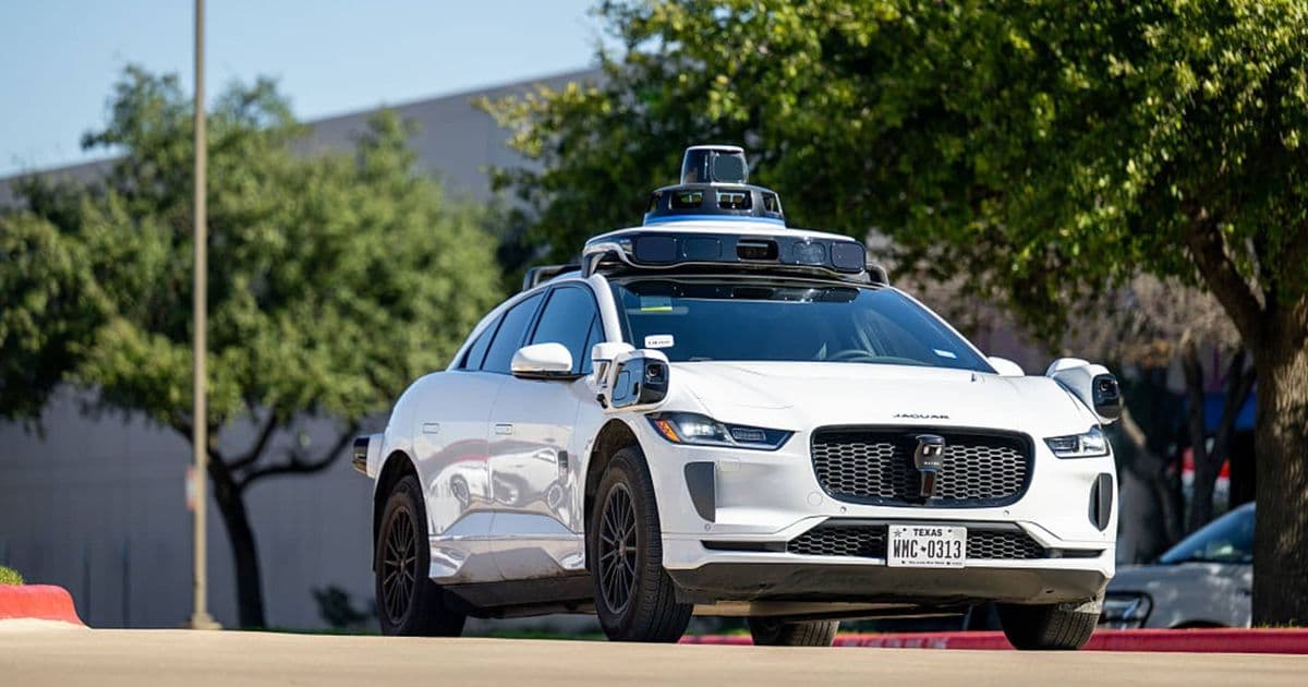
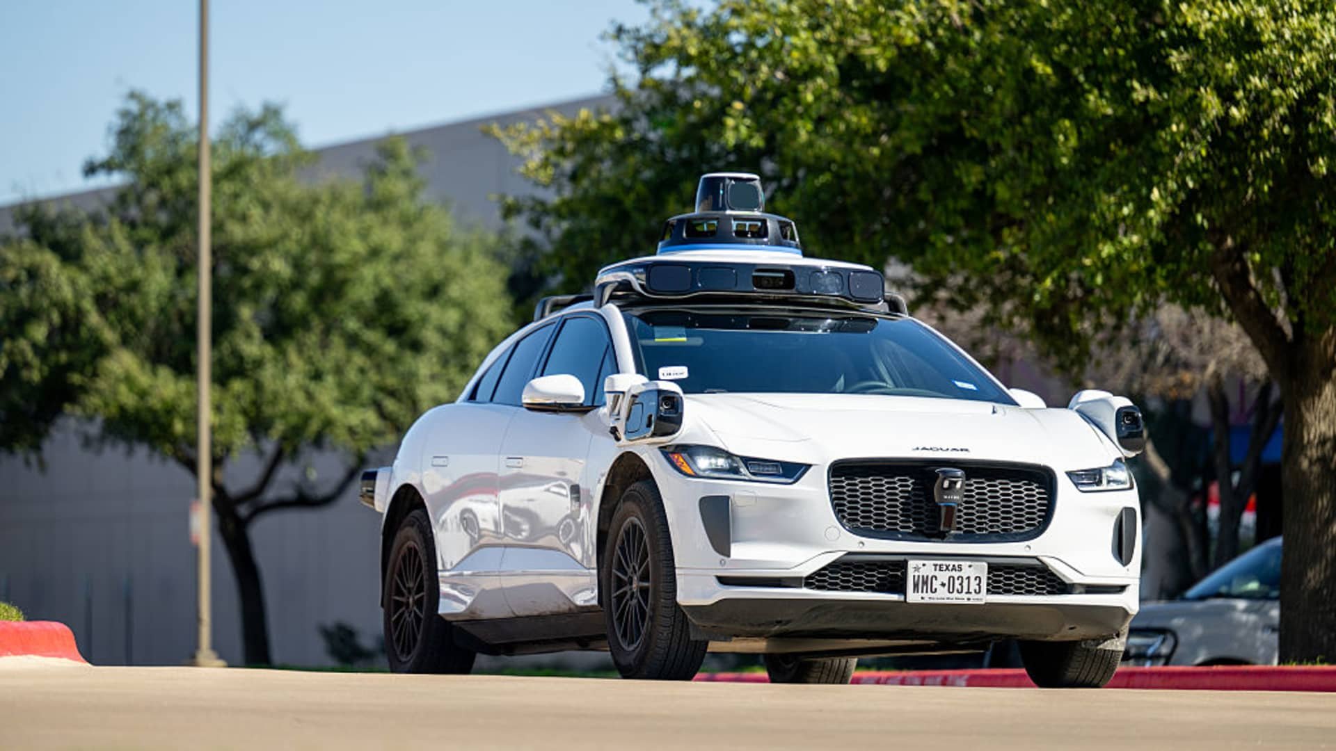
Waymo filed a voluntary recall with the National Highway Traffic Safety Administration covering about 3,800 robotaxis that run the company’s fifth‑generation (Waymo Driver 5.0) and sixth‑generation (Waymo Driver 6.0) automated driving systems (ADS). The recall is triggered by a software defect that can cause the vehicle to enter a lane that is flooded or otherwise untraversable. In video captured on Austin streets, the cars continued forward into several inches of standing water, stalled, and forced human drivers to maneuver around them.
The company says it has already deployed a temporary mitigation that restricts operation in areas flagged for flash‑flood risk, and it is rolling out “additional software safeguards” before the fleet returns to full service.
What’s actually new?
1. Explicit weather‑based geofencing
Waymo’s immediate fix adds a geofence layer that cross‑references real‑time precipitation data (from sources such as the National Weather Service and private radar feeds) with the vehicle’s current route. If the forecast exceeds a configurable threshold (e.g., > 30 mm h⁻¹), the ADS disables forward motion on any lane whose digital elevation model (DEM) indicates a low‑lying segment prone to water accumulation.
2. Updated perception pipeline
The recall also pushes an updated perception model (named FloodNet‑v2) to the affected fleet. FloodNet‑v2 is a multi‑modal convolutional‑recurrent network that fuses:
- Camera imagery (wide‑angle front and side lenses) at 30 fps,
- Millimeter‑wave radar point clouds for surface reflectivity, and
- High‑resolution lidar returns that can detect specular reflections from water.
Training data were expanded with synthetic flood scenes generated in CARLA and with real‑world footage collected during heavy rains in Austin, Phoenix, and San Francisco. Early internal benchmarks show a precision increase from 71 % to 92 % in correctly classifying a lane as “flooded” versus “dry”.
3. Decision‑making rule changes
Previously, the planner treated a flooded lane as merely “low‑confidence” and attempted to slow down before proceeding. The new rule set treats any lane with a flood‑confidence score > 0.8 as non‑traversable, forcing the planner to re‑route or pull over if no safe alternative exists.
Limitations and remaining challenges
| Issue | Current mitigation | Open problem |
|---|---|---|
| Sensor blind spots – low‑lying water can be invisible to lidar due to specular reflection. | FloodNet‑v2 adds radar‑based surface roughness cues. | Radar can still miss thin water films; a dedicated infrared camera would improve detection but is not yet deployed. |
| Rapidly changing conditions – flash floods can develop between forecast updates. | Geofence updates every 5 min using live radar precipitation maps. | Latency between sensor detection and geofence enforcement can be > 2 s, enough for a vehicle traveling at 45 mph to enter the water. |
| Edge cases – water on bridges, overpasses, or in drainage culverts may not be represented in DEMs. | Manual map patches added after incidents. | Requires a dynamic map‑updating pipeline that ingests crowd‑sourced reports and satellite imagery in near‑real time. |
| Operational impact – restricting routes during heavy rain reduces fleet availability, especially in markets like Austin where rain is frequent in summer. | Service area reduction (≈ 12 % fewer active zones). | Need a cost‑aware planner that balances safety constraints with rider demand, possibly by deploying a mixed‑fleet approach (human‑supervised vs fully autonomous). |
Why this matters for the industry
Waymo’s recall is not a headline‑grabbing “software bug” in the usual sense; it reveals a systemic difficulty for any high‑level ADS: recognizing when the environment is beyond the operational design domain (ODD). Flooding is a classic ODD breach because it changes the drivable surface without obvious visual cues. The incident underscores three broader points:
- Perception must be multimodal – relying on a single sensor type (e.g., camera) is insufficient for water detection. The industry is moving toward tighter sensor fusion, but the computational budget for real‑time inference remains a bottleneck.
- Maps need to be dynamic – static DEMs cannot capture transient hazards. Integrating live weather data and crowd‑sourced alerts is becoming a prerequisite for safe operation.
- Regulators will likely demand explicit ODD definitions that include weather‑related limits. Waymo’s voluntary recall may set a precedent for future NHTSA guidance on “environmental ODD compliance”.
Outlook
Waymo plans to resume full service in San Antonio once the updated software is rolled out and the NHTSA investigation is closed. The company’s next public milestone is the deployment of its sixth‑generation driver in a new Chinese‑made chassis, which will include the FloodNet‑v2 stack as a baseline.
For practitioners, the takeaway is clear: testing under adverse weather must be baked into the validation pipeline, not tacked on as an after‑thought. Collecting real‑world flood data, augmenting it synthetically, and building dedicated decision thresholds are practical steps that can be adopted today, regardless of the specific ADS stack.
Sources: NHTSA recall notice, Waymo press release (May 2026), internal benchmark slides shared at the 2026 Autonomous Driving Conference.
Comments
Please log in or register to join the discussion