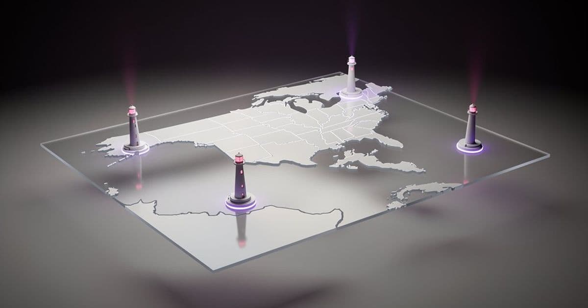
A new interactive map aggregates active Coast Guard navigational beacon data from the 2025 Light List, linking to historical lighthouse information while emphasizing its informational limitations.
A publicly accessible interactive map now displays locations and technical specifications for active Coast Guard navigational aids across the United States and parts of Canada. Compiled from the official 2025 Light List published by the United States Coast Guard (USCG), the resource serves strictly as an informational reference and explicitly warns against operational navigation use.
The map integrates with established lighthouse databases like Lighthouse Friends, a volunteer-maintained site by enthusiast Kraig Anderson. This connection provides supplemental historical context and photographs alongside technical beacon specifications. For instance, selecting Point Bonita Light near San Francisco reveals:
- Light Characteristic: Occulting white every 4 seconds (Oc W 4s)
- Structure: 33-foot white tower mounted on a building
- Visual Range: 18 nautical miles
- Sound Signal: Two 2-second horn blasts every 30 seconds, activatable via VHF-FM Channel 81A
- Backup Systems: Reduced-intensity emergency light during primary light failure
- AIS Identification: MMSI 993692000
This granular data offers researchers and maritime historians insight into operational coastal infrastructure. However, several critical limitations apply:
- Non-Navigational Status: The map lacks real-time validation mechanisms required for marine navigation. Mariners must consult official USCG publications for operational guidance.
- Update Latency: While based on the 2025 Light List, physical changes to aids (like temporary decommissioning or relocated structures) may not be immediately reflected.
- Data Scope: Canadian coverage appears incidental rather than comprehensive, focusing primarily on cross-border coordination zones.
The project exemplifies how enthusiast initiatives can complement federal data when contextualized properly. For verification, navigators should reference the USCG's Light List publications directly, while Lighthouse Friends remains valuable for historical documentation and preservation advocacy.
Comments
Please log in or register to join the discussion