University of Maine researchers harness Landsat and Sentinel-2 satellite imagery to help coastal farmers pinpoint optimal oyster growth locations amid Maine's complex coastline.
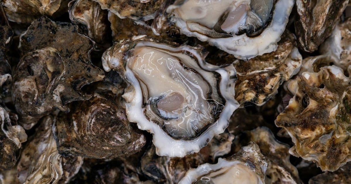
Maine's oyster farmers face a unique challenge: finding suitable growing sites along a coastline carved by ancient glaciers into drowned valleys and rocky bedrock. This geological complexity creates dramatically shifting water conditions over short distances, turning site selection into a costly gamble. Now, NASA satellite data offers a solution.
The University of Maine team developed a precision tool combining Landsat and Sentinel-2 satellite imagery. This technology maps water temperature and phytoplankton concentrations—key indicators for oyster survival and growth. Farmers like Luke Saindon of Wiscasset's 'The World is Your Oyster' farm use these maps to identify locations balancing optimal temperatures with abundant food sources.
'Without this tool, you'd spend years losing money on trial and error,' Saindon explains. 'Now we see exactly where conditions align.'
The satellite model goes beyond site selection. It simulates oyster energy allocation—predicting growth rates by analyzing how oysters divide resources between shell development, survival mechanisms, and reproduction. After validation against seven years of field data, the model proved accurate enough to forecast harvest timelines.
For Maine's aquaculture industry, this translates to reduced financial risk. Farmers avoid investing in suboptimal sites, accelerating profitability. The team will soon launch an online platform making these satellite insights directly accessible to oyster growers statewide.
Researchers emphasize the broader potential: 'This approach could be adapted for other shellfish species globally,' notes the team lead. 'It shows how space technology solves Earth-based challenges in unexpected ways.'
Comments
Please log in or register to join the discussion