The FAA has issued a nationwide security notice that establishes moving 3,000-foot exclusion zones around Immigration and Customs Enforcement activities, creating invisible, real-time restrictions that follow mobile DHS convoys and operations without public tracking.
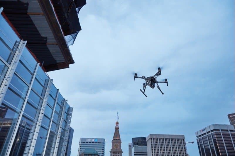
The Federal Aviation Administration's new security notice fundamentally changes how drone operators navigate airspace near federal law enforcement. Unlike traditional temporary flight restrictions that map fixed geographic boundaries, NOTAM FDC 6/4375 creates a dynamic security perimeter that moves with Immigration and Customs Enforcement vehicles, convoys, and mobile operations across the entire United States.
This nationwide restriction prohibits unmanned aircraft systems from operating within 3,000 feet laterally and 1,000 feet vertically of DHS facilities and mobile assets. The critical difference from previous rules lies in the mobility: the no-fly zone exists wherever ICE operations occur, not just at known facility locations. An ICE convoy transporting detainees or conducting field enforcement actions automatically generates a protected airspace bubble that follows the vehicles in real time.
The Enforcement Reality
The practical implications for drone operators are significant. The NOTAM provides no geographic coordinates, no activation times, and no public notification system when restrictions become active near specific locations. Drone pilots flying legally in public airspace could unknowingly violate federal law if an ICE convoy passes within the protected radius during their flight.
The FAA classifies this airspace as "national defense airspace" under federal security statutes. Violations trigger multiple penalty types: criminal prosecution, civil fines, administrative actions, and revocation of FAA operating privileges. The notice explicitly authorizes law enforcement to intercept, seize, damage, or destroy drones deemed credible security threats. This represents a substantial escalation from previous enforcement approaches.

Technical and Legal Ambiguity
Civil liberties groups and drone operators have identified several problematic aspects. The restriction replaces an earlier notice (FDC 5/6378) that was less explicit about mobile operations. The updated version removes ambiguity about covering moving assets, but creates new ambiguity about how operators can comply.
The FAA instructs operators to "exercise caution" near DHS facilities and mobile assets, yet offers no practical guidance for avoiding invisible, moving exclusion zones. Unlike traditional Temporary Flight Restrictions, there's no mechanism for real-time awareness of when and where ICE operations create restricted airspace. The government does not publish tracking data for DHS or ICE movements, and the NOTAM contains no notification protocol.
This creates a compliance paradox: operators must avoid zones they cannot see or predict. A photographer flying a drone over a public park could commit a federal violation if ICE conducts an operation nearby, even though the pilot has no way to know about the operation or the resulting airspace restriction.
Limited Exceptions and Coordination
The notice does provide narrow exceptions for operations supporting national defense, homeland security, law enforcement, firefighting, search and rescue, or disaster response missions. However, these require advance coordination with DHS or the FAA's System Operations Support Center.
For commercial drone operators, journalists, and recreational pilots, these exceptions offer little practical relief. The coordination requirement assumes operators know they need permission before flying near ICE activities, but the lack of public tracking means they often won't know until after violating the restriction.
Broader Pattern of Mobile Airspace Restrictions
This NOTAM represents a growing trend toward dynamic airspace management. As drone technology becomes more accessible and capable, federal agencies are expanding security perimeters beyond fixed facilities. The mobile convoy protection model could set precedent for other law enforcement or security operations requiring moving exclusion zones.
The technical challenge is real: modern drones can carry surveillance equipment, interfere with operations, or pose safety risks to aircraft. However, the enforcement mechanism creates collateral restrictions on legitimate drone use. Real estate photography, agricultural monitoring, journalism, and recreational flying all become subject to unpredictable no-fly zones that follow federal vehicles.
Operational Impact
Drone operators now face a new risk calculation. Flying in urban or border areas where ICE operations occur regularly requires heightened awareness and potentially more conservative flight planning. Insurance providers may adjust coverage terms based on these expanded restrictions. Commercial operators serving clients in affected areas must factor compliance uncertainty into their service offerings.
The lack of public tracking data means the restriction's true scope remains unclear. ICE operations occur nationwide, from urban centers to rural border areas. The mobile nature suggests the effective no-fly zone area could be substantial, though measuring it precisely is impossible without real-time asset location data.
Legal Foundation and Future Implications
The FAA cites multiple federal statutes governing national defense airspace and counter-UAS capabilities as legal authority for the restriction. This establishes a framework that could be extended to other federal agencies or mobile operations requiring airspace protection.
The notice's indefinite duration and nationwide scope distinguish it from temporary restrictions tied to specific events. This may prompt legal challenges regarding the FAA's authority to create permanent, mobile no-fly zones without geographic or temporal limitations.
For now, drone operators must navigate an invisible, moving security perimeter that follows ICE operations across the United States, balancing compliance with the practical impossibility of real-time awareness of federal law enforcement movements.
Comments
Please log in or register to join the discussion