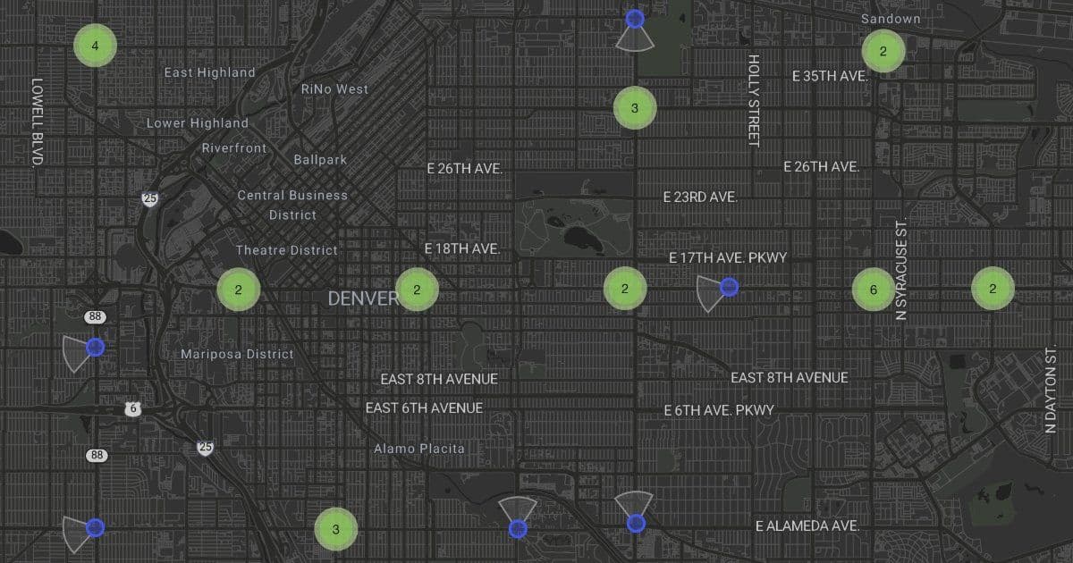
DeFlock’s open‑source map lists over 100 k license‑plate readers across the United States, exposing how widely these AI‑driven cameras are deployed, the privacy risks they pose, and the limited evidence for their claimed safety benefits.
Mapping the Ubiquitous ALPR Network – What DeFlock Reveals
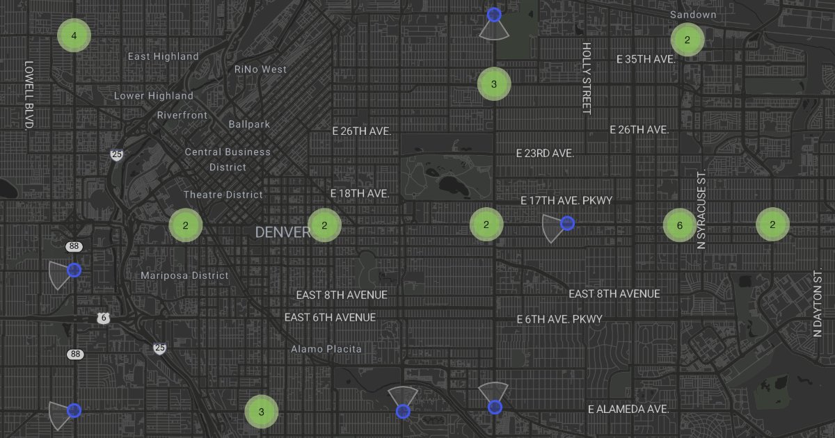
DeFlock is an open‑source effort that aggregates the locations of automated license‑plate readers (ALPRs, also called LPRs) installed by government agencies, private companies, and homeowners’ associations. The public map now shows 100,339 devices spread across the United States, with a striking concentration in a handful of metropolitan areas.
What the project claims
- Scale: More than one hundred thousand ALPRs are operational nationwide.
- Transparency: The map lets anyone see where a camera is located, the owning organization, and the date it was first reported.
- Actionability: Users can search for readers near a given address and export the data for further analysis.
The site positions the map as a tool for civic awareness and for pressuring municipalities that have rejected ALPR deployments (68 cities listed as “rejecting LPRs”).
What is actually new?
- A consolidated, community‑maintained dataset – Prior to DeFlock, most ALPR inventories existed in fragmented FOIA requests or academic studies. By pulling together submissions from volunteers, municipal records, and commercial vendor disclosures, DeFlock offers a single, searchable interface.
- Open‑source pipeline – The code that scrapes, validates, and visualises the data is hosted on GitHub (deflock/mapper). Researchers can fork the repo, add their own sources, or improve the geocoding logic.
- Geopolitical context – The map overlays city‑level policies (e.g., “rejecting LPRs”) so users can compare deployment density against local legislation.
These contributions are useful for scholars studying surveillance, journalists covering municipal budgeting, and privacy advocates drafting local ordinances.
Technical snapshot of an ALPR system
An ALPR camera combines a high‑resolution imager with an on‑device neural network that detects a plate, runs optical‑character recognition (OCR), and extracts ancillary features (make, model, color). Modern units often run models such as YOLO‑v5 for plate detection and CRNN for OCR, achieving >95 % accuracy on well‑lit plates but dropping sharply in rain or at oblique angles.
Captured records typically include:
- Plate string (hashed or plain text)
- Timestamp (UTC)
- GPS coordinates of the reader
- Vehicle attributes (color, body style, notable damage)
- A unique event ID for later cross‑referencing
Vendors like Flock Safety, PlateSmart, and Motorola Solutions store these events in cloud databases that participating agencies can query via web portals or API endpoints. The data retention policies vary, but many contracts specify storage for 5‑10 years, far longer than most criminal investigations require.
Why the privacy concerns are substantive
1. Continuous location tracking
Unlike a traffic camera that records only when a vehicle is present, an ALPR logs every pass‑by. Over weeks, a single plate yields a dense trajectory that can be combined with other datasets (cell‑tower pings, toll records) to reconstruct a person’s daily routine.
2. Cross‑jurisdictional sharing
When a local police department uploads its feed to a vendor’s cloud, the same record becomes searchable by any other agency that has a subscription. This effectively creates a national vehicle‑tracking network without a single warrant.
3. Documented misuse
Cases reported in the American Civil Liberties Union and local news outlets show that ALPR data has been used to:
- Wrongfully arrest a driver whose plate matched a partial query.
- Identify a protester’s vehicle after a demonstration, leading to surveillance by a separate jurisdiction.
- Allow a private homeowner association to monitor neighborhood traffic for non‑residents.
These incidents illustrate that the technology’s “crime‑fighting” narrative often overshadows the concrete harms.
The evidence gap on crime reduction
Empirical studies on ALPR effectiveness are mixed. A 2022 analysis by the Urban Institute found a modest correlation between ALPR density and stolen‑vehicle recovery rates, but the effect vanished after controlling for overall police staffing levels. Another peer‑reviewed paper in Criminology & Public Policy reported no statistically significant drop in violent crime in cities that expanded ALPR coverage.
In contrast, the vendors’ marketing materials frequently cite “thousands of arrests” or “hundreds of stolen‑vehicle recoveries” without disclosing the baseline rates or the proportion of false positives.
Limitations of the DeFlock map
- Coverage bias – The dataset relies on public reports and FOIA requests; some jurisdictions do not disclose locations, leading to under‑counting in certain states.
- Temporal lag – New installations may take weeks to appear, while decommissioned readers can remain listed until a volunteer updates the entry.
- Granularity – Exact camera orientation and field‑of‑view are not captured, so the map cannot predict whether a specific street segment is actually covered.
These gaps mean the map should be treated as a starting point for investigation rather than a definitive inventory.
Practical steps for citizens and policymakers
- Request retention schedules – Under many state freedom‑of‑information statutes, agencies must disclose how long ALPR data is kept.
- Push for audit logs – Requiring vendors to log every query made to the database can reveal whether the system is being used for broad surveillance or narrow investigations.
- Consider “opt‑out” zones – Some municipalities have experimented with disabling readers near schools or parks; the map can help identify where such policies are already in place.
- Support legislation – Bills that limit data sharing across state lines or mandate a warrant for historical queries are gaining traction in a few state legislatures.
Where to learn more
- DeFlock’s public repository and documentation: https://github.com/deflock/mapper
- A recent ACLU briefing on ALPR misuse: https://www.aclu.org/press-releases/alpr-privacy
- Comparative vendor list (maintained by the Electronic Frontier Foundation): https://www.eff.org/alpr-vendors
The DeFlock map is a useful reminder that surveillance technologies rarely disappear on their own. By making the infrastructure visible, the project gives journalists, researchers, and ordinary residents a concrete tool to hold agencies accountable.
Comments
Please log in or register to join the discussion